80 Miles in the Wind River Wilderness

80 Miles in the Wind River Wilderness

In 2015, I went on my first long-distance backpacking trip. I had no idea what I was getting myself into. I was unprepared on just about every level. I had the wrong gear, my backpack was too heavy, I was not in shape, I was overweight, and I was unprepared for the physical demands this hike would place on me.

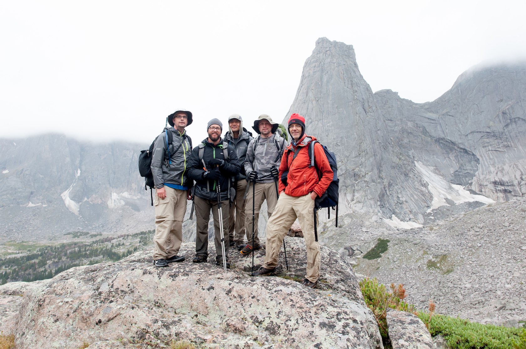
It is not an understatement to say this trip was life altering for me. It was a wakeup call to my fitness ability, my health, and my enjoyment of life. This trip taught me that I can do hard things. It taught me that age is just a number. Just about everybody I hiked with on this trip was older than me. They all out-hiked me. Up to this point in my life, this was the hardest thing physically I had ever done.

This trip was a pivotal moment for me. After this trip I changed my lifestyle, I lost weight, I started to exercise regularly, and I invested in better/lighter gear. I learned that despite the demands of being a father and working professional, I can still go on big adventures and invest in my health.

Of course I hiked the 80 miles with my DSLR, specifically I had the Nikon D700 at the time. I took two lenses, a 50mm f/1.8 and a 24mm f/1.4. This is my photo story. I also made a 5 minute video of the trip, catch that at the end of this story.

My first view of the Wind River Range. Pulled off the highway to take this photo.
A map of our route. This is a screenshot of the actual GPS track data. We started on the north end at Green River Lakes and ended at the Big Sandy trailhead on the south end.
Square Top Mountain in the background with the first Green River Lake in the foreground.
The second Green River lake. It is a completely different color because it is the first lake that the silty Green River flows into from the melting glaciers of the Wind River Range.
Getting closer to Square Top Mountain with the Green River in the foreground.
Fellow backpacker and photographer Scott Wyatt getting his shots of the iconic Square Top Mountain. We were both carrying Nikon full-frame DSLR cameras on this trip.
We hiked about 15 miles the first day when the clouds rolled in and it started to rain. We made camp for the night and it rained all night.

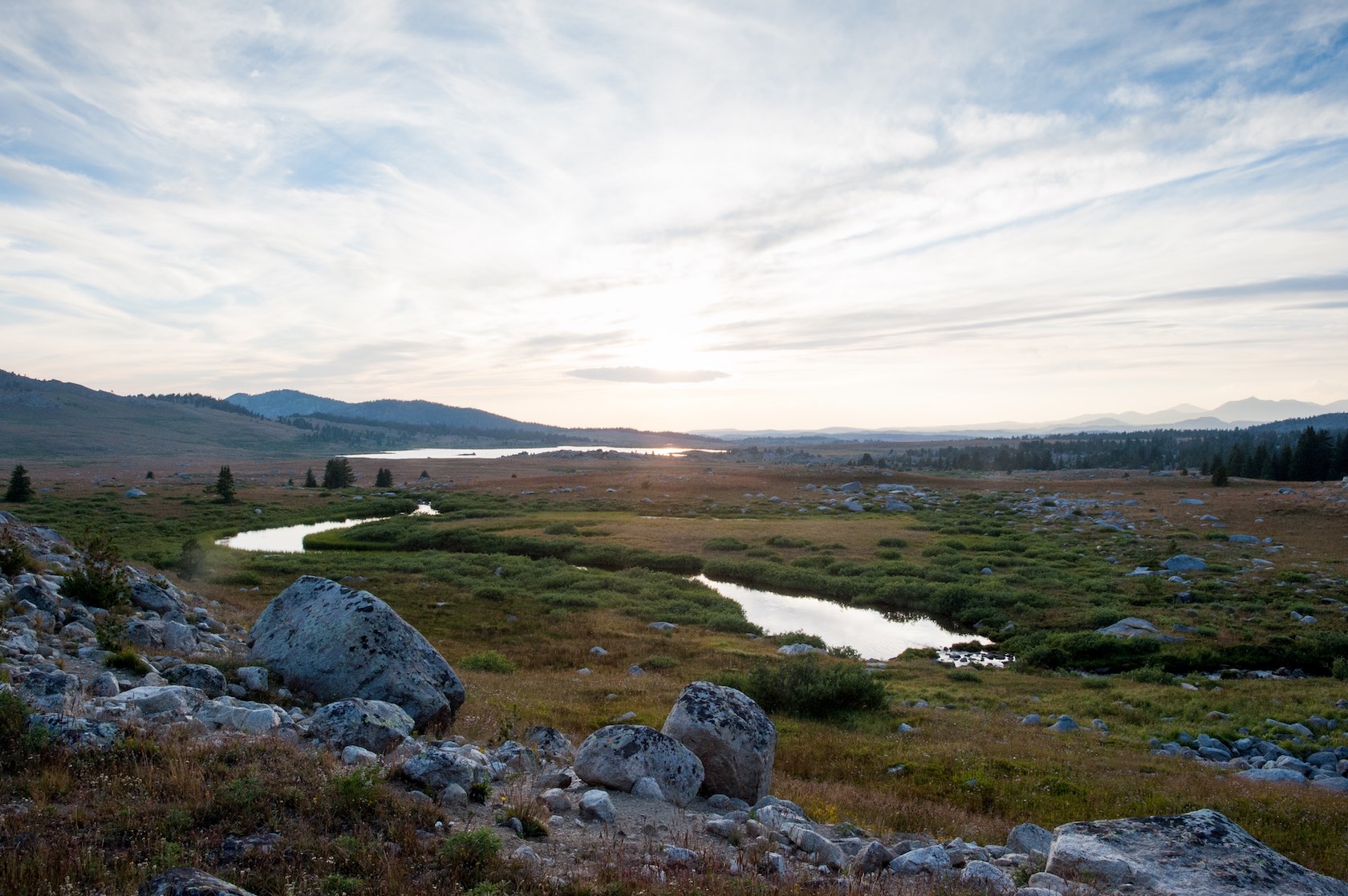
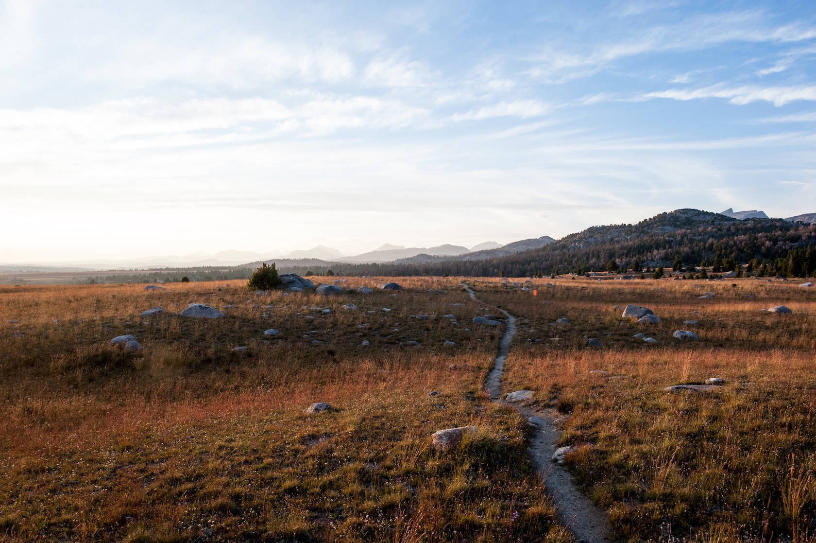
Our first day, we made it about 15 miles (24.14 km). That was not as far as our group had hoped. At this point, I felt exhausted, but still enthusiastic. It started to rain as we were setting up our tents for the night, and it rained all night. I slept great because I was so tired. I slept for 12 hours. The rain forced us into our tents at 7:00 pm, and we crawled out of our tents at 7:00 am the next morning.

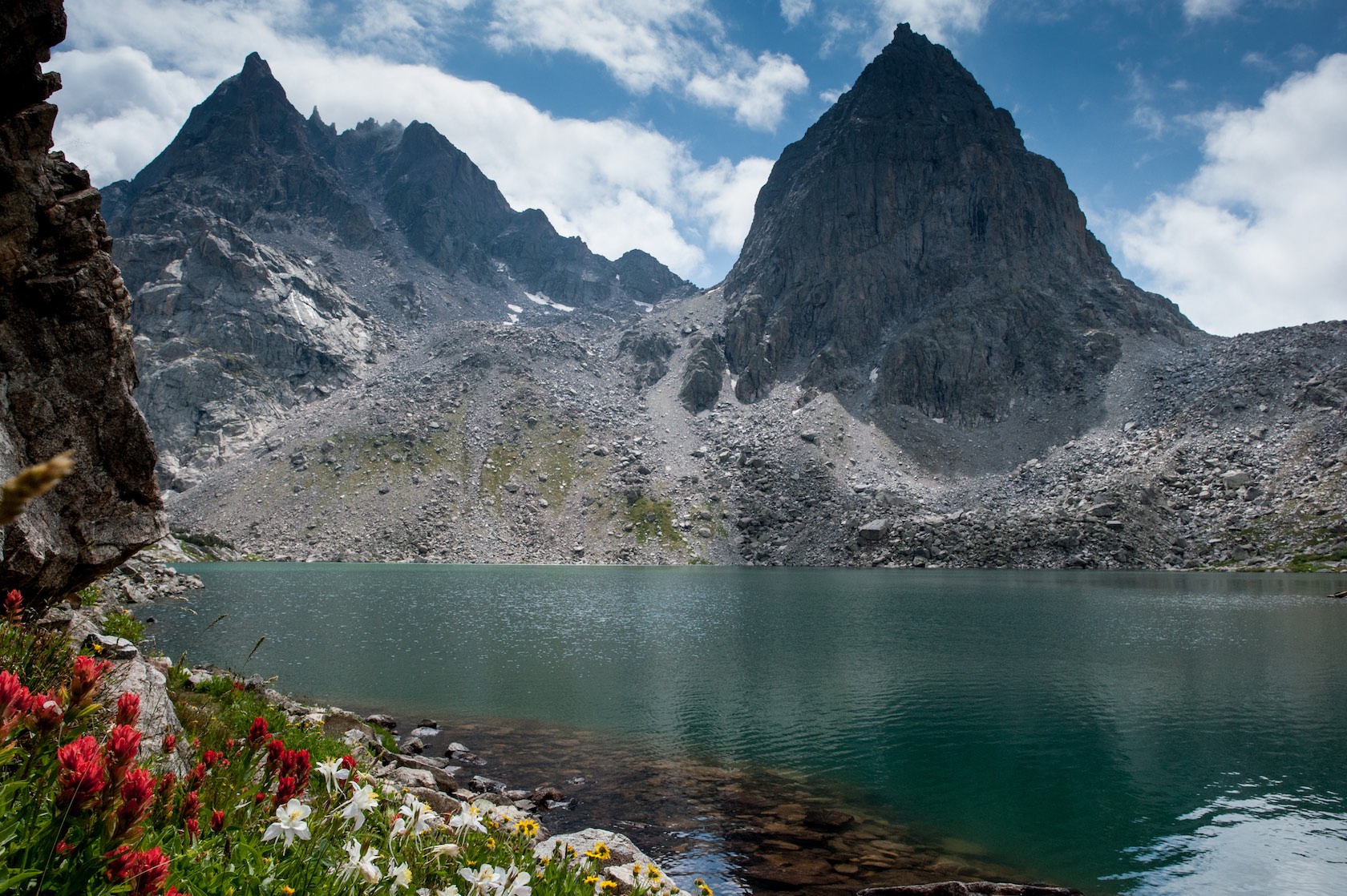
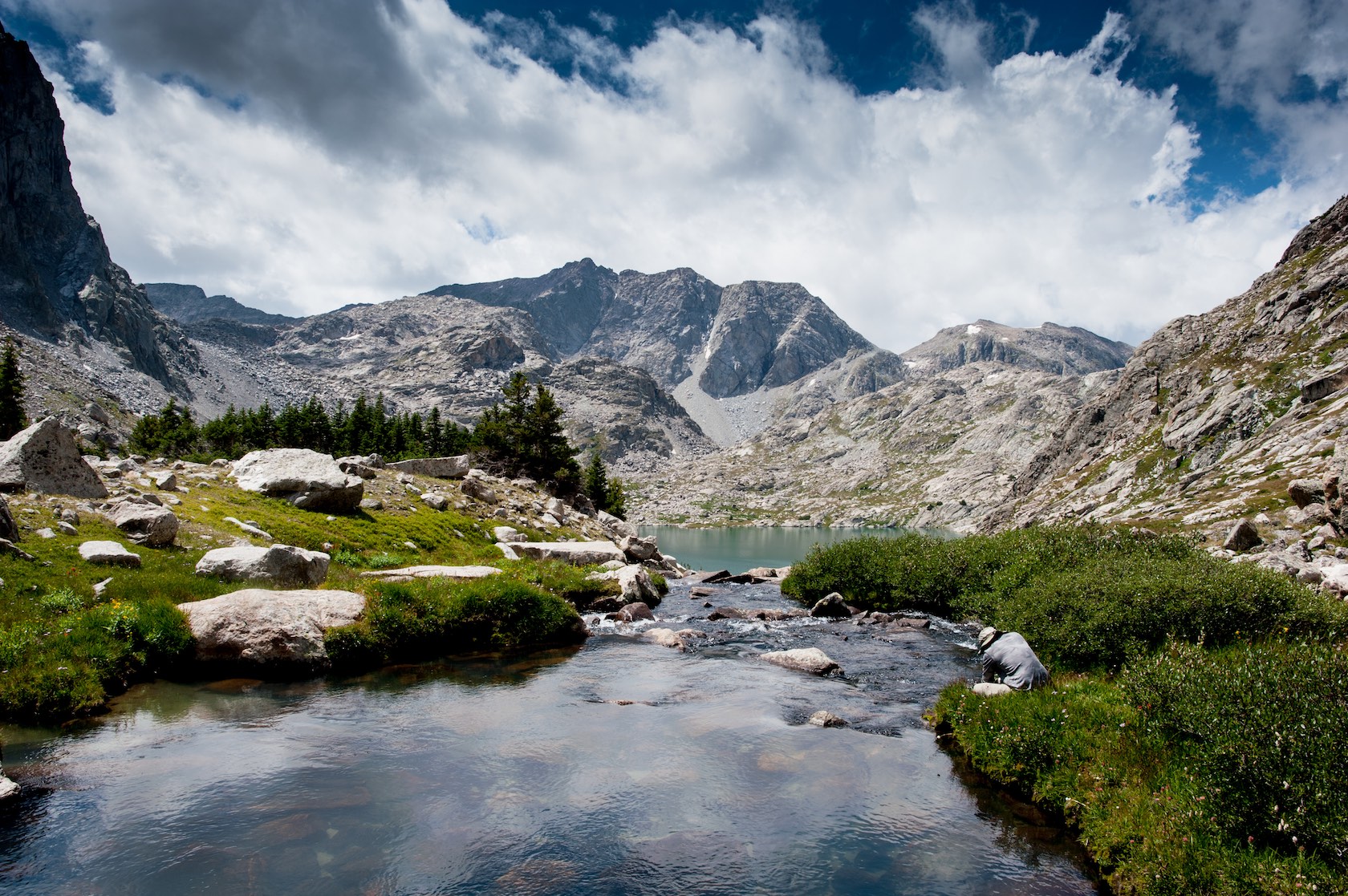
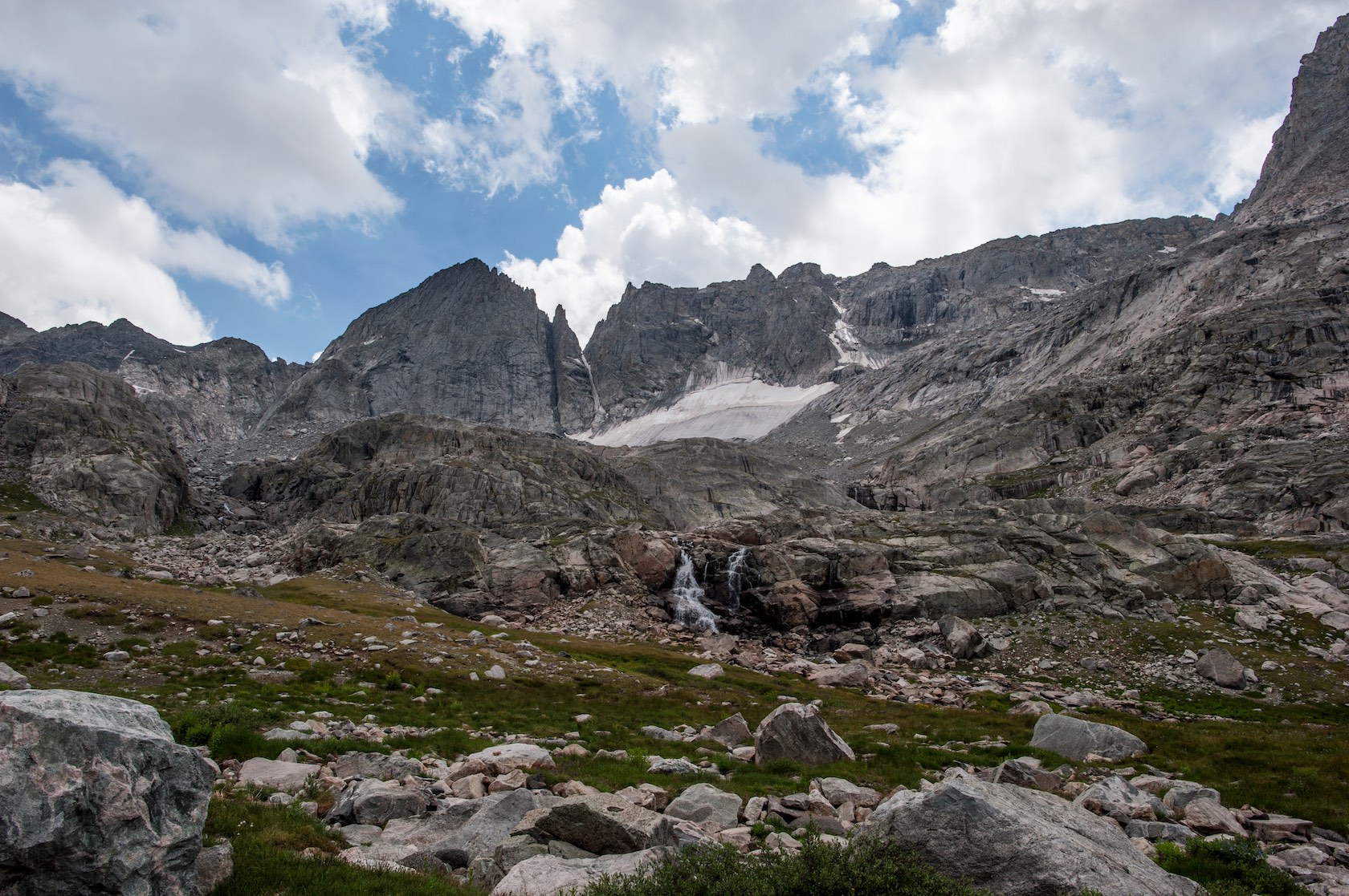
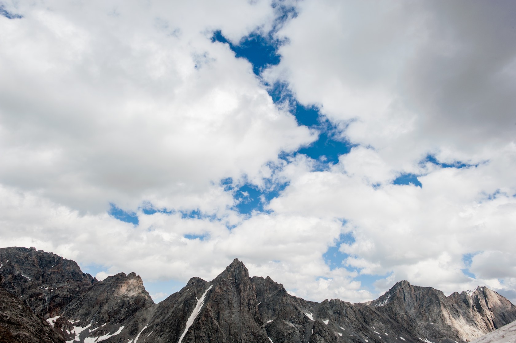
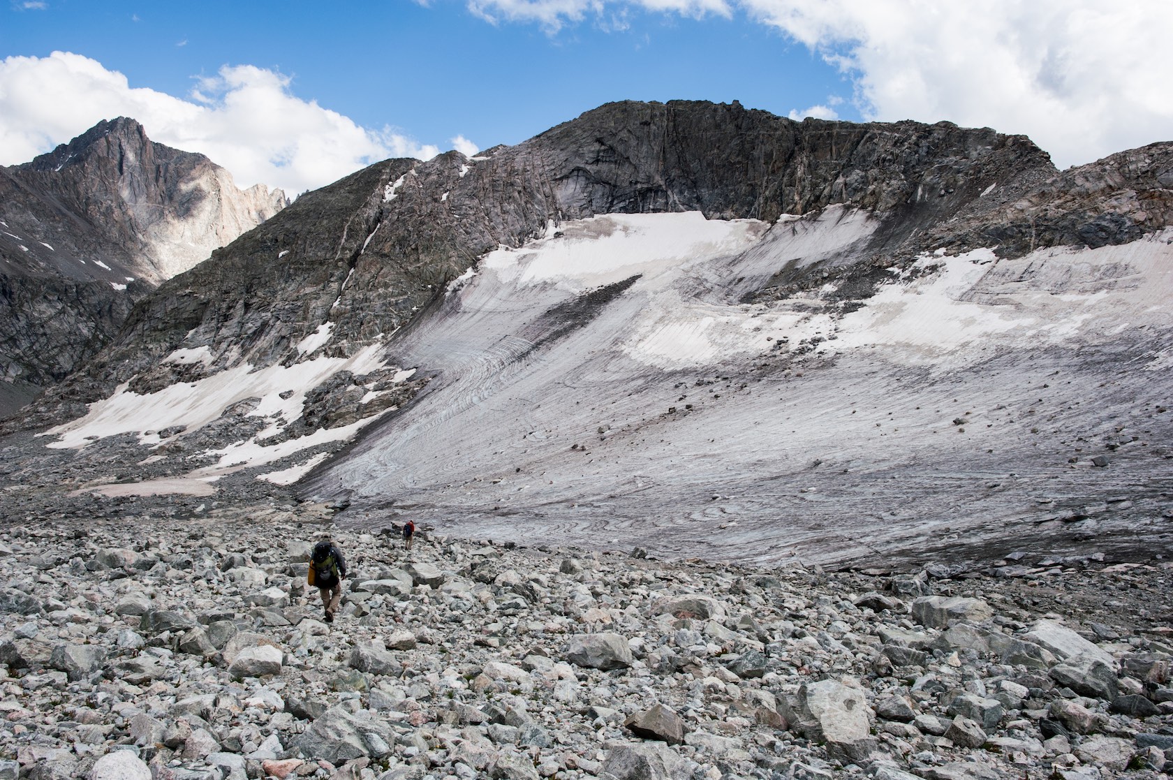
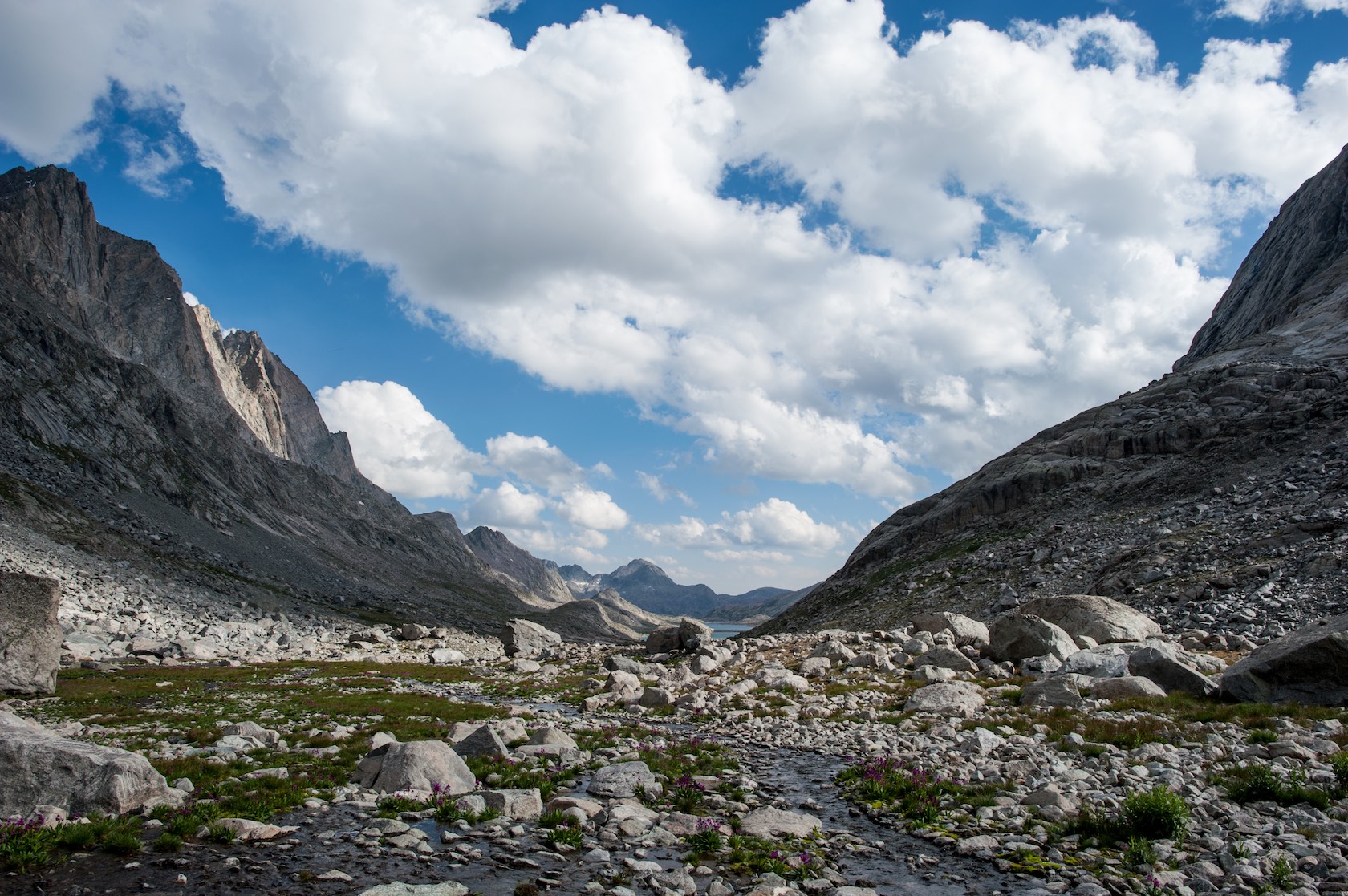
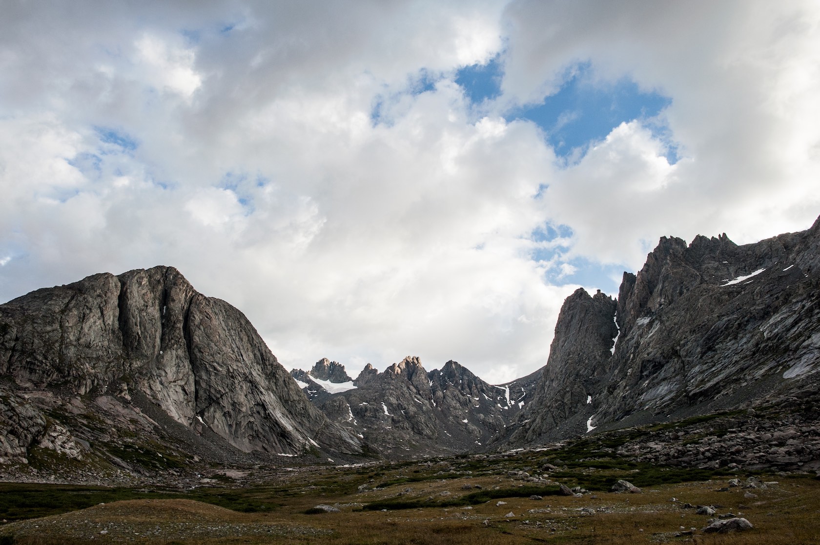
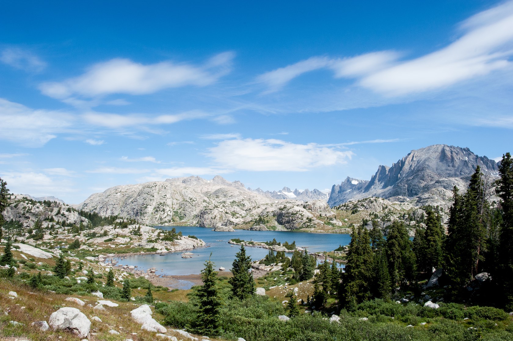
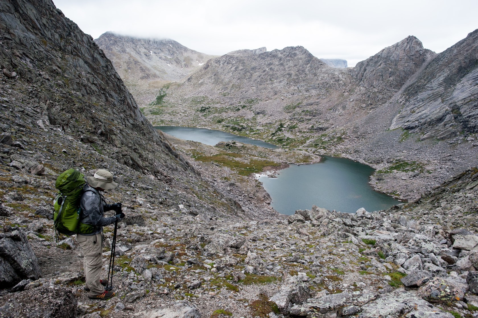
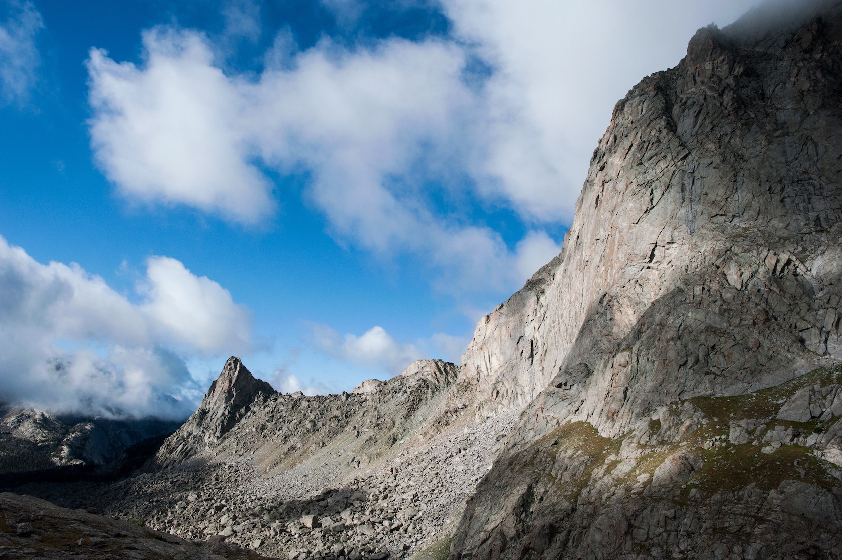
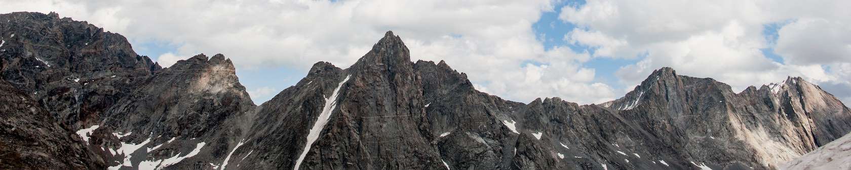
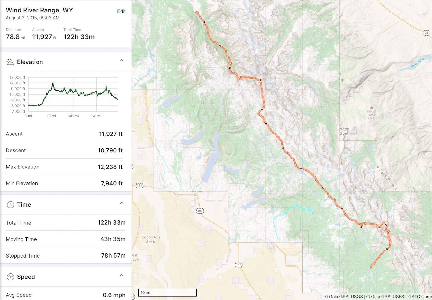
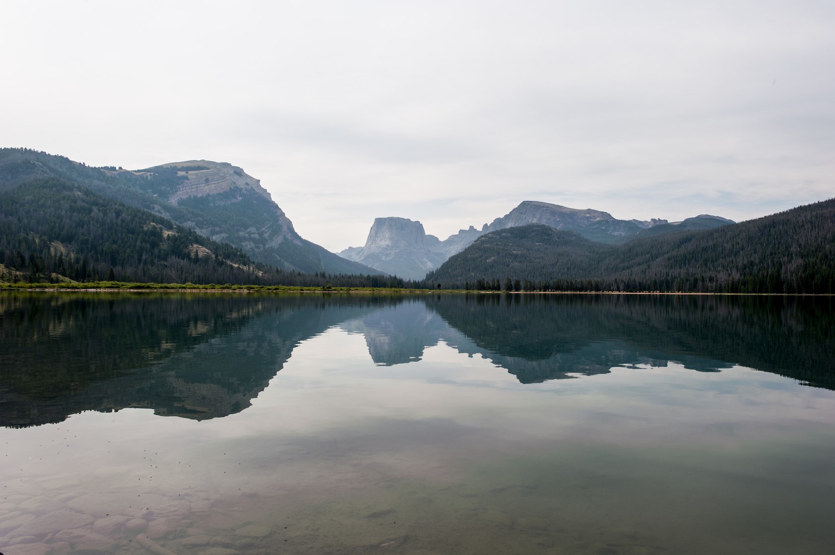
The second day of this trip took us through some of the most beautiful mountains I have ever experienced. Our route took us past Peak Lake and then up and over the highest pass on the route, Knapsack Cole, at 12,238 feet (3,730.14 m). We descended Knapsack Cole into the Titcomb Basin, past glaciers. The Titcomb Basin was my favorite section from a photo perspective. I long to go back and spend more time with my camera.

Wildflowers blooming at Peak Lake. Our path took us along the shore of this lake as we began our ascent to Knapsack Cole
Looking back at Peak Lake with the inlet in the foreground.
A glacier and waterfall as we head up to Knapsack Cole.
Looking at the peaks of the mountains from the top of Knapsack Cole, the highest point on the trail at 12,238 feet.
Coming down the other side of Knapsack Cole, hiking past a glacier on our way into the Titcomb Basin.
Looking down the Titcomb Basin toward the Titcomb Lakes.
Looking back from where we entered the Titcomb Basin. Bonny Pass is in the distance. The path down from Knapsack Cole is also in the distance.
Looking at Island Lake. This lake greets you at the bottom of the Titcomb Basin.
Somewhere halfway through the trip. After the first couple of days I was not feeling well and didn’t take very many pictures, but this sunset caught my eye. This was on one of our longest days where we hiked over 20 miles.
Looking back from where we came around mile 60. It was remarkable to look back and realize the Titcomb Basin and Knapsack Cole were somewere beyond the horizon.
Looking down the back side of Texas Pass at what we just climbed. Texas Pass is one of the passes that takes you over the Continental Divide and is the pass that drops you into the Cirque of the Towers.
In the Cirque of the Towers. This was our crew. I’m on the very left. Pingora Peak, a popular climb for mountaineers is in the background.
Looking down from Jackass Pass, the last of many passes on the 80 mile trip and about 10 miles from the Big Sandy trailhead.
Since this trip, I’ve gone on to do the same route again as an entirely different person. My second time through was much easier than the first and was an entirely different adventure and entirely different photo story. I’ve also gone on to do even harder things like run a 100-mile ultra marathon and run the Grand Canyon Rim-to-Rim-to-Rim. This trip was the beginning of many great adventures.

A Video Summary of the Trip